Skip to content
Mississippi Sideboard
A Southern Gallimaufry
Month:
April 2014
Posted on
April 30, 2014
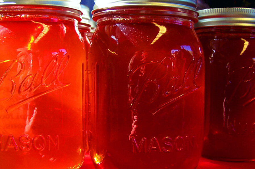
Mississippi Hooker
Posted on
April 26, 2014
October 7, 2023
A Farish Street Timeline
Posted on
April 26, 2014
Christ Temple Church of Christ
Posted on
April 12, 2014
Catawba Beans
Posted on
April 6, 2014
Governors’ Monument, Greenwood Cemetery
Posted on
April 3, 2014
Emporium Building
Posted on
April 1, 2014
Shelling Limas
Posted on
April 1, 2014
Wisteria, Greenwood Cemetery